Skip to content

Orbit Determination: An Introduction with ODTK

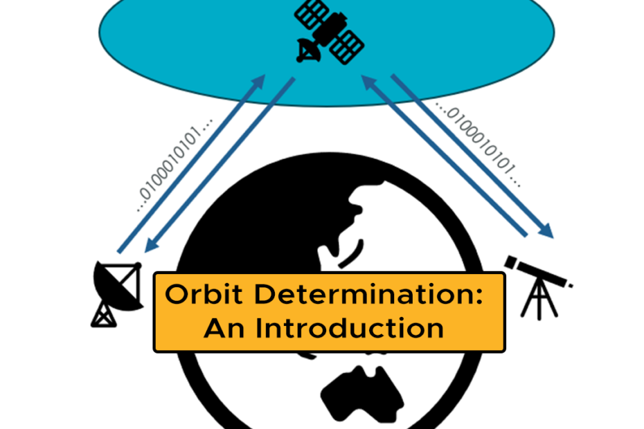
    Orbit determination serves as a foundational cornerstone to almost all modern telecommunications systems. It allows us to accurately discern not only the current, but the future position of satellites in orbit, a vital component to being able to transmit and receive data from these satellites, avoid collisions up in space and plan future space exploration missions. This post explains how orbital determination works and how the Ansys Orbit Determination Tool Kit (ODTK) helps to simplify what can be an incredibly difficult undertaking.

    Getting Started with Vuforia Studio to author Augmented Reality experiences

      This article will help you to learn the ropes of using Vuforia Studio, the powerful and easy-to-use augmented reality (AR) authoring tool developed by PTC and supported by LEAP Australia.

      There’s never been a better time to dive into making your own AR experiences, whether to showcase new products, improve employee training & efficiency, or to impress potential customers with amazing, interactive AR content.

      Tutorials cover everything from the Vuforia workflow and getting started, to tracking using ThingMarks, spatial targets, images, models and more!

      Guest Blog: Team Lunar Rockets to F1 in Schools World Finals with Simulation and 3D Rendering

        This guest blog from Team Lunar, a Melbourne-based team made up of 6 Brighton Grammar School students participating the F1 in Schools competition explains how their usage of Ansys simulation and Keyshot 3D rendering has helped them get ahead of the pack.

        With a track record of success dating back to 2022, Lunar has amassed over 30 category awards combined, establishing themselves as decorated, formidable competitors at both State and National competitions, now representing Australia at the World Finals later this year.

        Advanced Features of Ansys Rocky DEM for Next-Level Simulation

          This article provides a dive deep into the cutting-edge capabilities of Ansys Rocky DEM, showcasing how advanced features like OptiSLang integration, robust API capabilities, and Multi-GPU acceleration can transform your simulation experience.

          Whether you’re tackling complex particle interactions or optimising your designs, the aim of this article is to equip you with the tools to elevate your projects and drive innovation.

          Rocky DEM for Transfer Chutes, Conveyors and Bulk Materials Handling

            LEAP recently ran a webinar that explored how Rocky DEM is helping engineers and equipment designers around Australia to easily troubleshoot existing issues and optimise their designs to avoid chute blockages due to wet/cohesive materials, improve longevity of wear liners and better configure chute flow to reduce belt misalignment and tracking issues.

            This article summarises this presentation and includes video highlights including demonstrations of how Rocky DEM simulations help designers assess the overall performance of bulk materials handling systems.

            Satellite Design with Digital Mission Engineering: Part 2 – Constellation Coverage Analysis

              In part one of this satellite design series, we explored the modelling of a physics accurate RF Comms link between ground facility and LEO satellite. However, rarely do modern LEO satellites work in isolation. Instead, they work as part of a larger constellation, continuously exchanging data to fulfil their intended mission. Part two of this series explores the design of a larger LEO constellation and how Ansys STK allows for the qualitative and quantitative analysis of user-specified regions of interest to discern how effective a given constellation will be.

              Satellite Design with Digital Mission Engineering: Part 1 – RF Comms Link

                This is the first instalment in our 3-part DME Series that will explore the design of a LEO satellite constellation, exploring the implementation of Ansys STK to tackle common design challenges, including the design of a reliable RF communication link, the evaluation of LEO constellations for specific coverage metrics, and the conjunction analysis of the proposed constellation to ensure satellite survivability.

                GUEST BLOG – Navigating the Future: LEO-PNT Systems Improve Satellite Orbits

                  In the world of satellites, there’s a new game-changer: Low Earth Orbit (LEO) constellations joining hands with Global Navigation Satellite Systems (GNSS). What does this mean for us? In this guest blog, Dr. Amir Allahvirdizadeh, Research Fellow at Curtin University explains how LEO-PNT systems help solve numerous challenges when operating in critical environments, ensuring greater reliability and precision than ever before.